 RoadTrp.org | 2026 2024 2019 2018 2017 2016 2014 2013 2011 2010 2009 | parks maps trips | faq search
| RoadTrp.org | 2026 2024 2019 2018 2017 2016 2014 2013 2011 2010 2009 | parks maps trips | faq search |
| VLA/Pie Town: | [Day 1] | Tue May 10 | Drive day | Drive day · 7 videos |
| [Day 2] | Wed May 11 | The Very Large Array and Pie Town, NM; on to Grand Canyon Village | The Very Large Array and Pie Town, NM; on to Grand Canyon Village · 38 videos | |
| Grand Canyon N.P. (South Rim): | [Day 3] | Thu May 12 | Grand Canyon South Rim | Grand Canyon South Rim · 16 videos |
| [Day 4] | Fri May 13 | South Kaibab hike | South Kaibab hike · 22 videos | |
| [Day 5] | Sat May 14 | Bright Angel hike to Indian Garden | Bright Angel hike to Indian Garden · 13 videos | |
| Grand Canyon N.P. (North Rim): | [Day 6] | Sun May 15 | To the North Rim; Bright Angel Point | To the North Rim; Bright Angel Point · 27 videos |
| [Day 7] | Mon May 16 | North Rim: Walhalla Plateau | North Rim: Walhalla Plateau · 27 videos | |
| Zion N.P.: | [Day 8] | Tue May 17 | To Zion; Observation Point hike | To Zion; Observation Point hike · 19 videos |
| [Day 9] | Wed May 18 | The Narrows | The Narrows · 12 videos | |
| [Day 10] | Thu May 19 | Angels Landing and Kolob Canyons | Angels Landing and Kolob Canyons · 21 videos | |
| Great Basin N.P.: | [Day 11] | Fri May 20 | To Great Basin National Park; Lehman Caves | To Great Basin National Park; Lehman Caves · 14 videos |
| [Day 12] | Sat May 21 | Bonneville Salt Flats and Great Basin | Bonneville Salt Flats and Great Basin · 9 videos | |
| Zion N.P. (II): | [Day 13] | Sun May 22 | Second visit to Zion, then on toward Bryce Canyon | Second visit to Zion, then on toward Bryce Canyon · 25 videos |
| Bryce Canyon N.P.: | [Day 14] | Mon May 23 | Bryce Canyon National Park | Bryce Canyon National Park · 29 videos |
| Arches N.P.: | [Day 15] | Tue May 24 | To Arches via Capitol Reef | To Arches via Capitol Reef · 22 videos |
| [Day 16] | Wed May 25 | Devils Garden and Delicate Arch | Devils Garden and Delicate Arch · 14 videos | |
| [Day 17] | Thu May 26 | Fiery Furnace and Dead Horse Point | Fiery Furnace and Dead Horse Point · 8 videos | |
| Canyonlands N.P.: | [Day 18] | Fri May 27 | Canyonlands: Island in the Sky and the Needles | Canyonlands: Island in the Sky and the Needles · 22 videos |
| Monument Valley/Mesa Verde N.P.: | [Day 19] | Sat May 28 | Monument Valley and Mesa Verde | Monument Valley and Mesa Verde · 16 videos |
| Great Sand Dunes N.P.: | [Day 20] | Sun May 29 | Great Sand Dunes: Star Dune hike | Great Sand Dunes: Star Dune hike · 11 videos |
| [Day 21/22] | Mon May 30 | Great Sand Dunes backup day, then the drive east | Great Sand Dunes backup day, then the drive east · 4 videos | |
| Route Map: | [Route][all maps] | |||
| Day's Summary: To Zion; Observation Point hike. Overnight: Watchman Campground. |

Description of the room at the Quail Park Lodge.

The external view of the Quail Park Lodge.

This tunnel is located inside the east entrance of Zion National Park, east of the Mt. Carmel Tunnel. Zion has two tunnels, and this one is the shorter one. I've done a little research and I can't seem to find a name for this "shorter tunnel."

The official name is the "Zion-Mt. Carmel Tunnel." It's 1.1 miles long, and you need a permit if you have a large vehicle. They stop two-way traffic and make the tunnel one-way for large vehicles (RVs, etc.).

Filming the western opening of the Mt. Carmel Tunnel as well as observing some of the canyon walls. Unlike what I surmise in the video, this is not Zion Canyon itself, but a side canyon connected to Zion Canyon called Pine Creek Canyon.
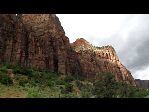
Filming canyon walls in another location in Pine Creek Canyon.

There are road switchbacks along the face of Pine Creek Canyon that connect to the Mt. Carmel Tunnel and lead to Zion Canyon.

The plan for the day included hiking the Narrows, basically up the Virgin River. It's supposed to be a breathtakingly wonderful hike. Of course, I was prepared: I had a waterproof bag, watertight container, and watertight camera case. Unfortunately, the Narrows was closed due to lots of water flow.
The hike that leads to the Narrows is the 2-mile round-trip Riverside Walk. This shows where the Narrows hike would have begun, which is the far end of the Riverside Walk.

Good view of the sign forbidding entrance to the Narrows due to large quantities of water. "No travel beyond this point because of high water." Gosh, it would've been a great hike.
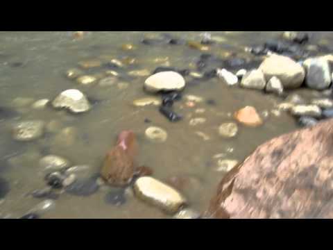
Walk down some steps to the beach on the side of the river.

Beach cairns, a pan up to the canyon walls, a 360 degree pan that shows the end of Riverside Walk (near 0:17), and the river.
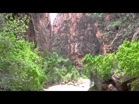
Heading back, some views of the river and the canyon walls.

I pose a question to a squirrel, but sadly I get no reply.

Strayed a bit off the beaten path to get some views of the river.

Trickling water down the canyon wall.

The Virgin River's current.
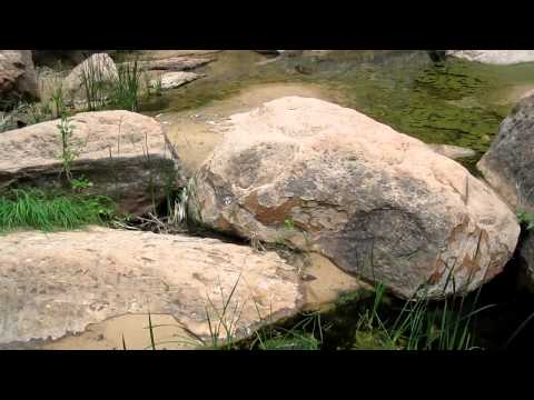
Vertical canyon wall.

Headed "down canyon" towards the visitor's center and Springdale, UT. Powered by propane.

What a metropolis! Walking parallel to Zion Park Boulevard, and I'm passing Winderland Lane early in the video, passing Springdale Elementary School on the left, and approaching the Zion Park Motel on the right and Zion Pizza & Noodle Company (with a steeple...in an old church) on the left.