 RoadTrp.org | 2026 2024 2019 2018 2017 2016 2014 2013 2011 2010 2009 | parks maps trips | faq search
| RoadTrp.org | 2026 2024 2019 2018 2017 2016 2014 2013 2011 2010 2009 | parks maps trips | faq search |
| Travel: | [Day 0] | Fri May 22 | Drive day · no videos | Drive day · no videos |
| Grand Canyon N.P.: | [Day 1] | Sat May 23 | First day at the Grand Canyon South Rim | First day at the Grand Canyon South Rim · 6 videos |
| [Day 2] | Sun May 24 | Grand Canyon South Rim | Grand Canyon South Rim · 15 videos | |
| Hoover Dam/Las Vegas: | [Day 3] | Mon May 25 | Hoover Dam, then on to Las Vegas | Hoover Dam, then on to Las Vegas · 5 videos |
| [Day 4] | Tue May 26 | Las Vegas | Las Vegas · 5 videos | |
| Yellowstone N.P.: | [Day 5] | Wed May 27 | En route to Yellowstone | En route to Yellowstone · 7 videos |
| [Day 6] | Thu May 28 | Yellowstone National Park | Yellowstone National Park · 42 videos | |
| Yellowstone/Grand Teton N.P.: | [Day 7] | Fri May 29 | Yellowstone and Grand Teton National Parks, then the start of the straight-through drive home | Yellowstone and Grand Teton National Parks, then the start of the straight-through drive home · 29 videos |
| Drive Home: | [Day 8/9] | Sat May 30/31 | Drove straight home from Grand Teton with no overnight stop, arriving early Sunday morning | Drove straight home from Grand Teton with no overnight stop, arriving early Sunday morning · 1 video |
| Route Map: | [Route][all maps] | |||
| Day's Summary: Yellowstone National Park. Overnight: Mammoth Hot Springs Hotel. |
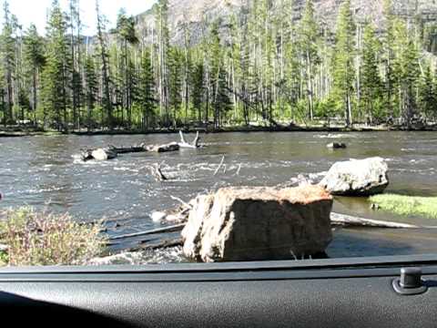
There are five entrances to Yellowstone: North, West, South, East, and Northeast. The North Entrance is near Gardiner, MT, and is the only one open year round. The Northeast Entrance is the path to the Beartooth Highway. Very near the Northeast Entrance, the town of Cooke City, MT, is accessible year round, but the Beartooth Highway to Red Lodge, MT, is only open from roughly late May to mid October. The South Entrance is the path to Grand Teton National Park and is open from roughly mid May to early November. The East Entrance, leading to Cody, WY, is open similar times as the South Entrance.
This was my first visit to Yellowstone, and I do remember at the West Entrance there was a delay due to bison being on the road. I didn't get into the park as fast or as early as I had wanted. It was probably 30 minutes to an hour delay, if I remember correctly.
Approximate location: 44.648868, -110.942039

There's a road off the main "figure 8" Grand Loop Road that leads to Firehole Canyon. It's called--appropriately--Firehole Canyon Road.
Approximate location: 44.63165, -110.86317

On Firehole Canyon Road.

This was likely my first good view of a bison up close. Fountain Flat Drive is located south of the West Entrance off Grand Loop Road.

Continuing south on the Grand Loop Road, near Fountain Paint Pots. Fountain Paint Pots is part of the Lower Geyser Basin area of Yellowstone.
Approximate location: 44.55961, -110.80974

In 1981, David Allan Kirwan lost his life after jumping into this nearly boiling-hot pool when trying to save a dog.

There you have it: the shortest video on this site.
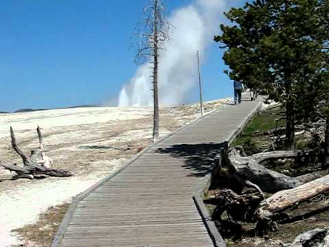
Another short walkway video at Fountain Paint Pots. I actually didn't go to see the actual Fountain Paint Pots, which are mud pots. They're essentially a hot spring of mud versus a hot spring of water.
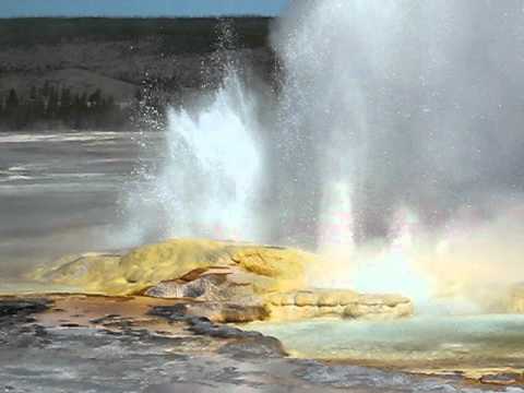
Very spasm-y.

Walking back to the parking lot along the wooded walkway.

Directly across from the parking lot to Fountain Paint Pots is the exit of the one-way road called Firehole Lake Drive. Traveling further south along the Grand Loop Road, you'll find the entrance on the left.
This is Firehole Spring. Hear my rental car's (Chevy Impala) lock chirp at 0:10.

Sizzling.

Sounds like frying an egg.

Typically, White Dome Geyser erupts every 20-35 minutes. It's unpredictable, though. I waited for a while and it did go off after 20-30 minutes.

Took some pictures while videoing, so that's the "pause & click" that you hear around 8 times throughout this video. I also get some portrait pictures at around 0:26-0:36. Very windy.

Bubbling, steaming, fascinating body of water. This is Hot Lake.

Another short vid of Hot Lake. The actual Firehole Lake is a smaller lake directly on the other side of Firehole Lake Drive.

Dogs apparently don't like the eruption. Shut your dogs up! Took some pictures during the video.
Old Faithful erupts approximately every 90 minutes. Interestingly, the average around 1940 was closer to 70 minutes.

Small lake near the West Thumb of Lake Yellowstone.
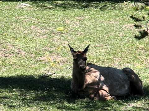
Very relaxed deer.

Approximate location: 44.422601, -110.574623

Approximate location: 44.422601, -110.574623

Approximate location: 44.432991, -110.80974

Approximate location: 44.4675, -110.4669

Very steamy.

It was amazing to me how close people would get to bison. You're supposed to stay back a fair distance, mainly for your own safety. Bison look very docile, but they have been known to kill. Better to get a zoom lens and stay back!

Hot, muddy, and bubbly.
(It's my esoteric opinion, by the way, that the preferred spelling is "cauldron." Since it's a proper name, gotta go with it!)

I'm not invading your territory, bub. This was in the Mud Volcano Area parking lot (or nearby along the road).
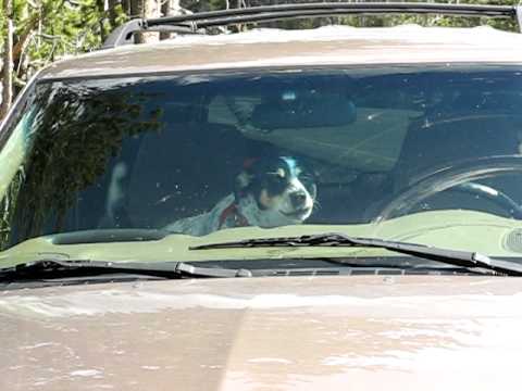
Shut it! Very short video.

I'm not sure of the exact temperature of this spring, but if you ever visit, realize that these are oftentimes BOILING hot springs. People have been badly injured or killed due to unintentionally or intentionally entering these hot features. Be careful.

Approximate location: 44.655556, -110.463611

Appropriately named, this is one of the most scenic areas of Yellowstone. Beautiful view of Lower Yellowstone Falls. It was very surreal, as the location was very painting-like.

Less obstruction and a better view of the Yellowstone River, flowing away from the Lower Falls.

Similar to the last video.

This is the world's tallest active geyser. As of July 2013, the last eruption was July 31, 2013. During major eruptions, water can be sent 300 feet up.

When Steamboat Geyser erupts, the water in this pool drains. Pretty cool.

Lots of activity here.

I wonder how hot that water is?
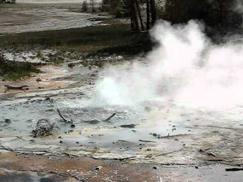
Apparently this geyser was partially clogged due to people throwing trash into it. It used to erupt every minute.

Fascinating that it just continually pours out water vapor...endlessly.

Good view of Bunsen Peak.
Approximate location: 44.951757, -110.713287

I believe I was going to get a pizza at Outlaw's!
Approximate location: 45.010810, -110.693956