 RoadTrp.org | 2026 2024 2019 2018 2017 2016 2014 2013 2011 2010 2009 | parks maps trips | faq search
| RoadTrp.org | 2026 2024 2019 2018 2017 2016 2014 2013 2011 2010 2009 | parks maps trips | faq search |
| Skyline Drive/Peaks of Otter: | [Day 1/2] | Thu Jun 23/24 | Skyline Drive and the Parkway to Peaks of Otter | Skyline Drive and the Parkway to Peaks of Otter · 11 videos |
| BRP (to Lenoir, NC): | [Day 3] | Sat Jun 25 | Blue Ridge Parkway south to Lenoir, NC | Blue Ridge Parkway south to Lenoir, NC · 4 videos |
| BRP (Mt. Mitchell): | [Day 4] | Sun Jun 26 | Linn Cove Viaduct, Linville Falls, and Mount Mitchell | Linn Cove Viaduct, Linville Falls, and Mount Mitchell · 20 videos |
| BRP (Graveyard Fields): | [Day 5] | Mon Jun 27 | Graveyard Fields, then home | Graveyard Fields, then home · 5 videos |
| Route Map: | [Route][all maps] | |||
| Day's Summary: Linn Cove Viaduct, Linville Falls, and Mount Mitchell. Overnight: Red Roof Inn, Asheville. |

Layout of the Sims Pond area.
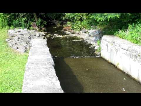
Water drainage out of Sims Pond.

Nearing the Lynn Cove Viaduct at the Boulder Field Overlook. Hazy views.

Still at the Boulder Field Overlook.

Caption

Caption

Caption

Caption

Caption

Caption

Caption

Caption

Nearing Mount Mitchell, at the Mount Mitchell Parking Overlook. Prominent radio towers in view.

Mount Mitchell is the tallest US mountain east of the Mississippi River. Here's I'm viewing some fast-moving clouds.

Hiking towards the summit, watching more clouds moving.

Getting closer to the summit. Near the end of the video I show the summit platform that we're walking towards.

Looking roughly east-northeast.
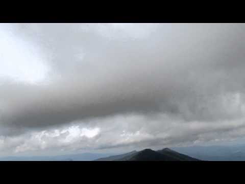
I was certainly fascinated by the clouds, and this video reinforces that.

Filming different parts of the viewing platform as well as the directional North Carolina map on the floor of the viewing platform.

Walking down the walkway from the summit's viewing platform.