 RoadTrp.org | 2026 2024 2019 2018 2017 2016 2014 2013 2011 2010 2009 | parks maps trips | faq search
| RoadTrp.org | 2026 2024 2019 2018 2017 2016 2014 2013 2011 2010 2009 | parks maps trips | faq search |
| Cherohala Skyway/Blue Ridge Parkway: | [Day 1] | Mon Mar 9 | Cherohala Skyway/Blue Ridge Parkway | Cherohala Skyway/Blue Ridge Parkway · 10 videos |
| Mt. Mitchell/Blue Ridge Parkway: | [Day 2] | Tue Mar 10 | Mt. Mitchell/Blue Ridge Parkway | Mt. Mitchell/Blue Ridge Parkway · 7 videos |
| Peaks of Otter/Blue Ridge Parkway: | [Day 3] | Wed Mar 11 | Peaks of Otter/Blue Ridge Parkway | Peaks of Otter/Blue Ridge Parkway · 2 videos |
| Route Map: | [Route][all maps] | |||
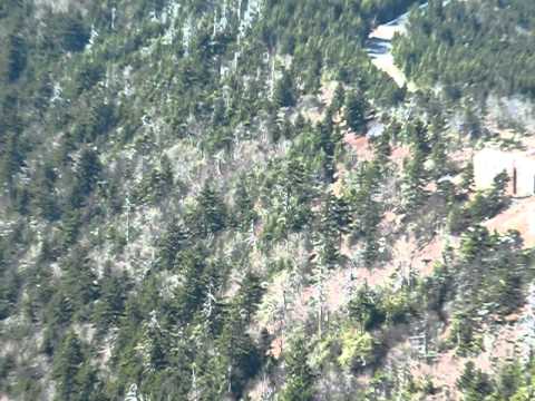
Great views of the surrounding mountains. In the United States, it's the highest peak east of the Mississippi River. A worthwhile visit if traveling along the Blue Ridge Parkway near Asheville, NC.
Surprisingly, few people around on this day! In the lower 60's, wind around 5mph or so.

Start: 35.861011, -82.034215
End: 35.878417, -81.990244

Caption
Start: 36.083549, -81.830809
End: 36.128967, -81.769751

Serene, relaxed environment viewed from the back deck of my room at Peaks of Otter.
Notice that the deer are too focused to respond to my noises.

Another video of a grazing deer.
Peaks of Otter, as of 2009, has no cell reception and no television. It's good to be disconnected.

Dwindling light. Beautiful location near Abbott Lake.